
By Lebone Rodah Mosima
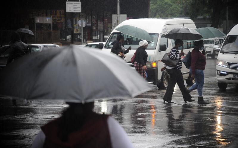
South Africans have been warned to brace for a significant winter cold front expected to bring widespread rain, snow, strong winds and a sharp drop in temperatures across large parts of the country from 9 to 11 August.
Weather forecaster Vox Weather said on Wednesday that a strong cold front, supported by a ridging high-pressure system, is expected to move across the southern parts of the country on Sunday.
“Widespread rain is likely over the Western Cape, Eastern Cape and parts of the Northern Cape, later spreading towards the Free State, Lesotho and KwaZulu-Natal,” Vox said.
It added that freezing levels are expected to drop low enough for snow over the higher mountain peaks of the Western Cape, including the Cederberg, Matroosberg, Hottentots Holland, Boland and Swartberg mountain ranges.
Heavier snowfall is also possible around Sutherland and across the high-lying areas of the Karoo, including the Nuweveld and Roggeveld ranges.
“Snow could also spread towards the northern high ground of the Eastern Cape, Lesotho and the southern Drakensberg,” Vox said.
For Monday, forecast models indicate that a cut-off low pressure system could develop, bringing widespread rain to much of the country, excluding the far western parts of the Western Cape and Northern Cape.
Snow is expected to persist over the Nuweveld Mountains, Sneeuberge, northern Eastern Cape, southern Drakensberg and Lesotho.
“Current forecast models are also indicating possible snowfall over the eastern Northern Cape and parts of North West, where heavy rain may occur,” Vox said.
However, it cautioned that the extent of snowfall will depend on the exact movement, position and intensity of the cut-off low.
“Even a small shift in the system could significantly change where the rain and snow occur,” the forecaster said.
Forecast models for Tuesday currently indicate the potential for heavy rainfall, with more than 50mm possible within a 24-hour period in some areas.
Vox said the latest European Centre for Medium-Range Weather Forecasts (ECMWF) model currently places the heaviest rainfall over the eastern Northern Cape and parts of North West, although the exact location remains uncertain.
“Most of the snowfall should begin clearing by Tuesday, although snow may continue over Lesotho,” it said.
Vox also noted that the latest forecast models no longer indicate snowfall over Gauteng, underscoring how rapidly forecasts can change when a cut-off low is involved.
“We will continue tracking the system and post updates as the weekend approaches,” the forecaster said.