
By Lebone Rodah Mosima
The South African Weather Service (SAWS) has issued an Orange Level 5 warning for severe thunderstorms in parts of the Northern Cape on Friday, with flooding, damaging winds, hail and excessive lightning expected as a cut-off low moves across the country.
The highest-level warning applies to parts of the east-central Northern Cape, including the Dikgatlong, Kgatelopele, Siyancuma, Siyathemba and Thembelihle municipalities. SAWS has warned that heavy downpours could flood roads, settlements and low-lying areas, while damaging winds and hail could affect homes, infrastructure, vehicles and agricultural operations.

ALSO READ: Ntuthuzelo Vanara replaces Johnson at IDAC as acting head
A separate Yellow Level 4 severe-thunderstorm warning is in place across a wider area of the Northern Cape and parts of the Free State and North West, where localised flooding, wind and hail damage, falling trees and disruption to municipal services due to excessive lightning are possible.
Southern KwaZulu-Natal is also under a Yellow Level 4 severe-thunderstorm warning, including areas south of Underberg and Pietermaritzburg.

SAWS forecaster Masego Nhlapo said the province was being affected by a low-pressure system south-east of the country, supported by an upper cut-off low.
“We do have a yellow level 4 warning for severe thunderstorms over the southern parts of KZN. And considering that we have an upper-cutoff low, which is known for strong winds as well, we do have a yellow level 4 warning for damaging winds,” Nhlapo told SABC News.
The damaging-wind warning covers much of KwaZulu-Natal, where south to south-westerly winds could gust as high as 90km/h. The conditions could damage infrastructure and settlements, bring down trees, disrupt power and communication services and make travel hazardous for high-sided vehicles.
A Yellow Level 2 warning for damaging waves has also been issued along the KwaZulu-Natal coast.
“Wet and windy conditions are expected over most parts of KwaZulu-Natal,” SAWS said.
The province is expected to be partly cloudy to cloudy and cold to cool, but warmer in the north-east, with widespread showers and thundershowers in the west and south and scattered showers elsewhere.
ALSO READ: Ramaphosa motivated by impeachment consequences, court hears
Further inland, Yellow Level 2 severe-thunderstorm warnings cover southern Gauteng, parts of the Free State and North West and south-western Mpumalanga, with localised wind and hail damage and excessive lightning possible.
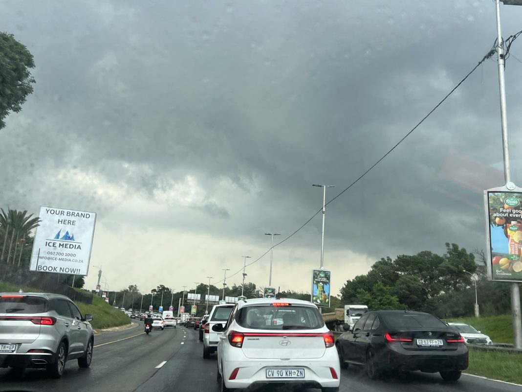
SAWS said Gauteng would be “partly cloudy in the morning, otherwise cloudy and cool to warm with scattered showers and thundershowers”.

Cold conditions are also setting in across parts of the Eastern Cape, where SAWS said very cold weather was expected in places in the Chris Hani and Joe Gqabi district municipalities.
Light snowfall is possible over the extreme north-eastern escarpment of the Eastern Cape, while widespread showers and thundershowers are forecast over parts of the province.
Very cold, wet and windy conditions are also expected in places over the Namakwa District in the Northern Cape and the interior of the Western Cape as the cut-off low continues to influence weather across the country.
SAWS said earlier this week the system would bring a marked drop in temperatures, widespread rain and thunderstorms as it moved eastwards, with motorists urged not to cross flooded roads and to exercise caution in areas affected by heavy rain, strong winds and poor visibility.
INSIDE METROS